Digitalization of cultivation boundaries (fields, ditches, ponds, roads etc.) provides you with the overview needed when planning and carrying out activities in the field. Once digitalized, annual updating of field maps are normally an easy task in most GIS software packages.
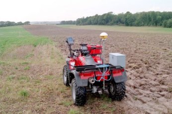
GPS Agro are using the following GPS equipment:
Trimble AgGPS 132 DGPS with 10 Hz update rate and Everest Multipath Rejection
Trimble AgGPS 170 Field Computer
Trimble AgGPS 21 Lightbar for field guidance
The equipment is sufficiently reliable for digitalization of field boundaries and calculation of field areas.
GPS Agro is also using high resolution aerial photos for the entire Denmark.